Rivers State Identified as High-Risk Flood Zone
Rivers State in Nigeria has been identified as a high-risk flood zone due to its geographical location and environmental factors. Studies have shown that the state’s flood risk is influenced by a combination of natural and human-induced factors.
Factors Contributing to Flood Risk
Research has highlighted the following factors as contributing to the high flood risk in Rivers State [1]:
- Digital Elevation Model (DEM): The state’s low-lying terrain makes it prone to flooding. The DEM shows that the state’s elevation is generally low, with some areas below sea level.
- Land Use/Land Cover (LULC): Urbanization and land degradation contribute to increased flood risk. The state’s land use patterns, including deforestation and land conversion, have altered the natural hydrology and increased the risk of flooding.
- Slope: The state’s gentle slope hinders water drainage, exacerbating flood situations. The slope of the land affects the rate at which water flows and accumulates, making it difficult for water to drain quickly.
- Rainfall intensity: High rainfall volume and duration increase the risk of flooding. Rivers State experiences heavy rainfall during the wet season, which can overwhelm the state’s drainage capacity.
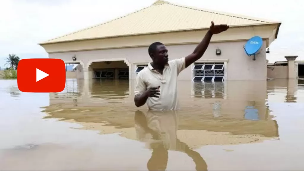
Affected Areas
Some of the areas most affected by flooding in Rivers State include [3]:
- Farmlands: Approximately 5,591 hectares of farmland are impacted by flooding. The flooding of farmlands can lead to significant economic losses for farmers and affect food security.
- Urban-rural areas: An estimated 29,775,178 square meters of urban-rural areas are affected. The flooding of urban areas can lead to displacement of people, damage to infrastructure, and disruption of economic activities.
Flood Mitigation Measures
To reduce the impact of flooding, the state government and stakeholders are exploring various mitigation measures, including [4]:
- Flood risk assessment: Identifying areas prone to flooding and developing strategies to mitigate risks. This involves analyzing data on flood patterns, land use, and infrastructure to identify areas at high risk of flooding.
- Urban planning: Implementing effective urban planning to reduce the impact of flooding. This includes designing cities and towns to accommodate floodwaters, improving drainage systems, and promoting flood-resilient construction practices.
- Disaster response: Developing emergency response plans to minimize the effects of flooding. This includes establishing early warning systems, evacuation plans, and emergency shelters to protect people and property.
Conclusion
Rivers State’s high flood risk is a pressing concern that requires immediate attention from the state government and stakeholders. By understanding the factors contributing to flood risk and implementing effective mitigation measures, the state can reduce the impact of flooding and protect its citizens and infrastructure.